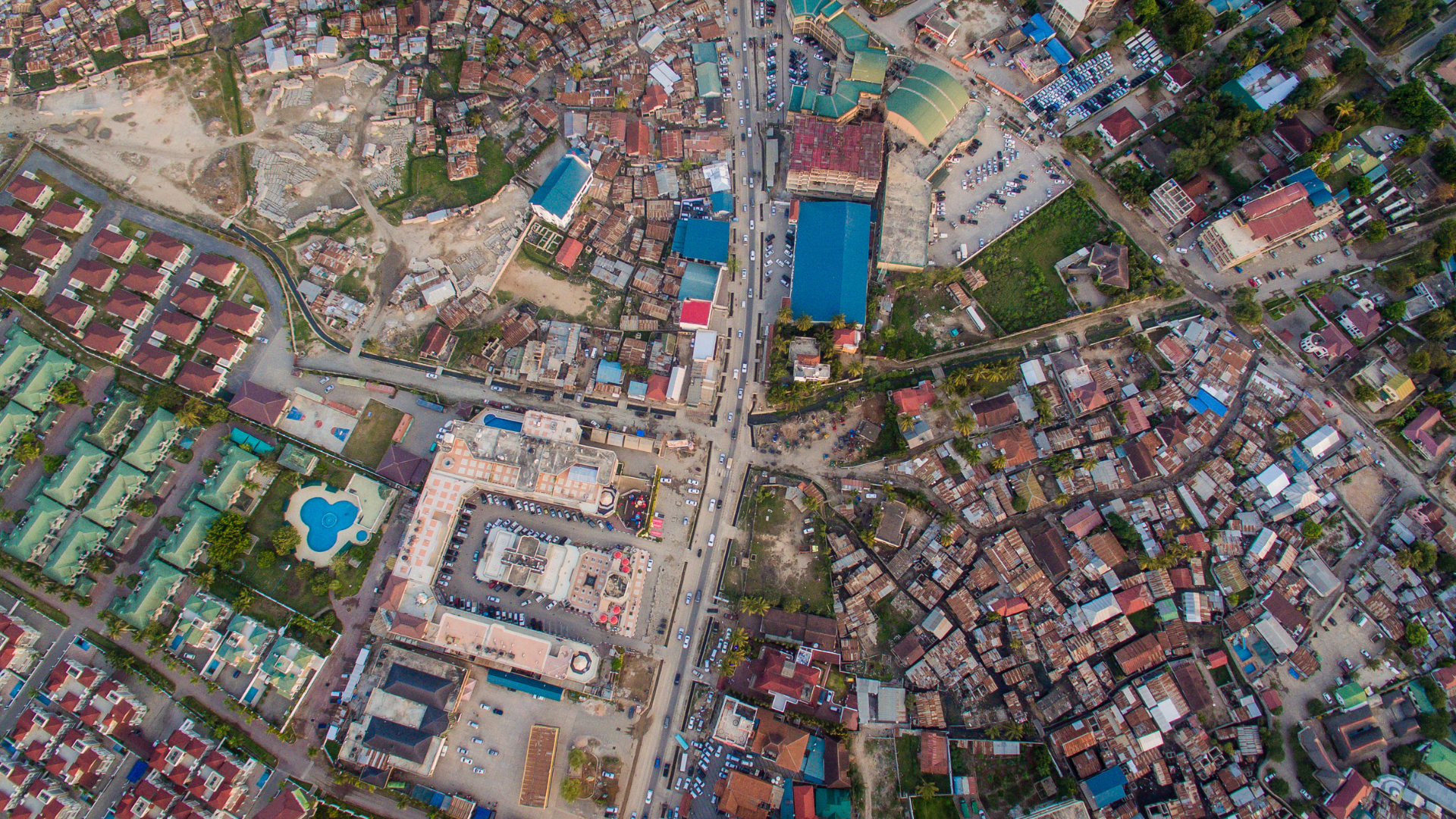
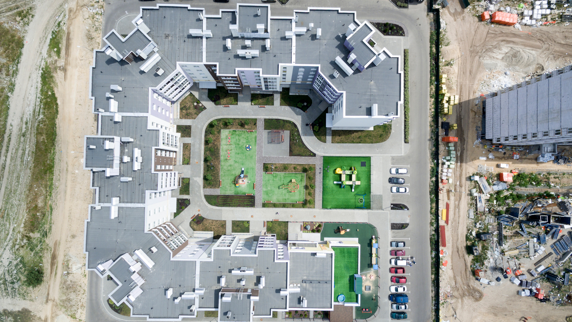
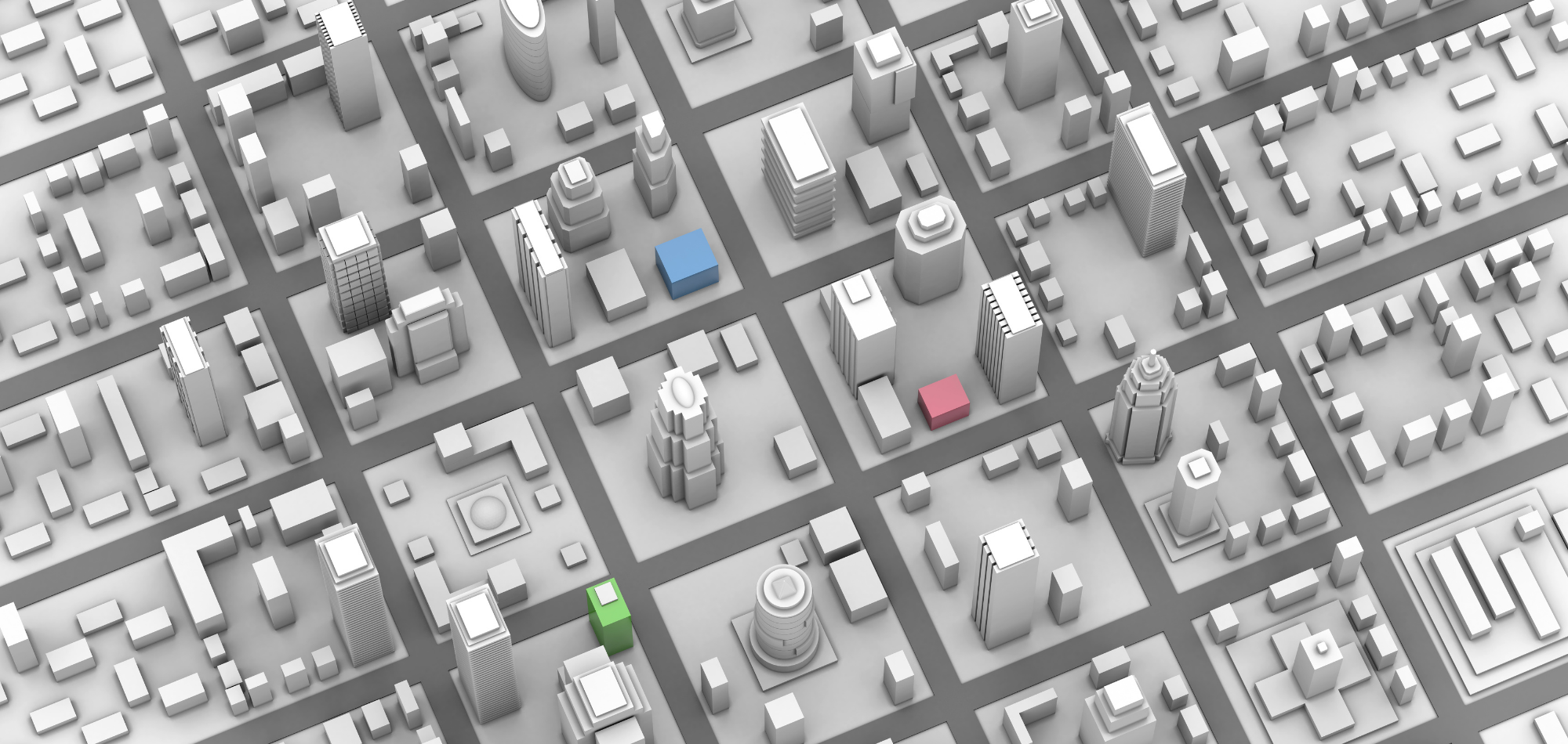
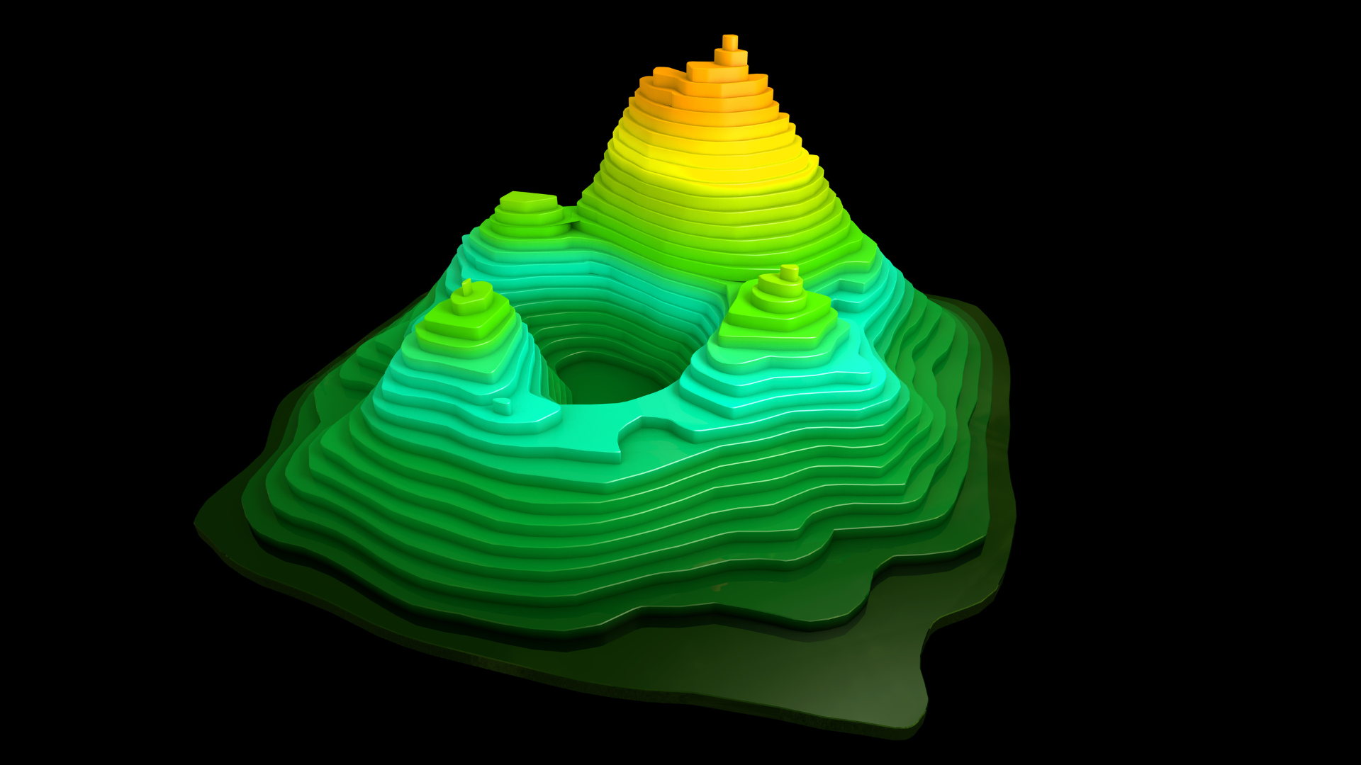
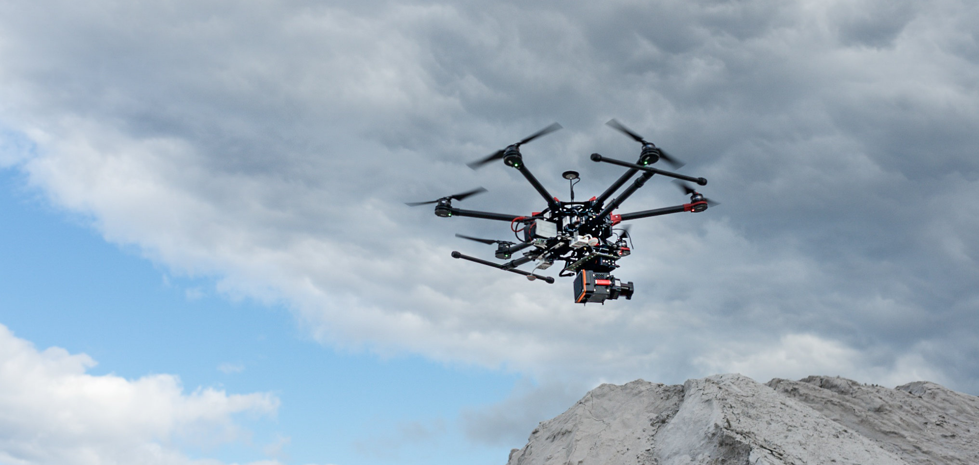
"LiDAR (Light Detection and Ranging) is an optical remote sensing technology that measures properties of scattered light to find range and/or other information of a distant target." LiDAR, uses laser light pulses, while radar uses radio waves. "The range to an object is determined by measuring the time delay between transmission of a laser light pulse and detection of the reflected signal. Antler Technologies completed several projects on Bare Earth editing, Contour Editing along with compiling breaklines, Vector Mapping compilation & Power line classifications.
#205/A/A,MLA’s Colony, Road No : 12,Banjara Hills ,Hyderabad - 500034
040-24389999
9390555556
info@antlerit.com