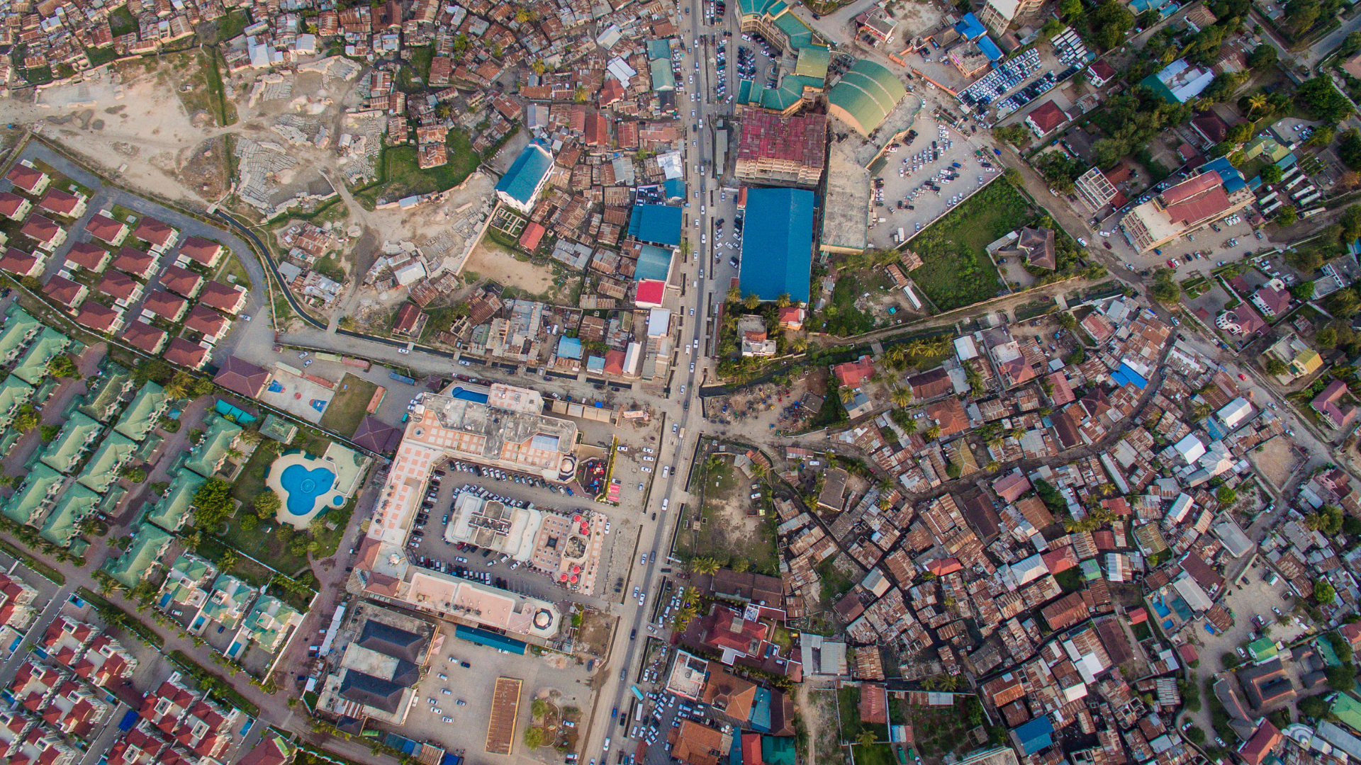
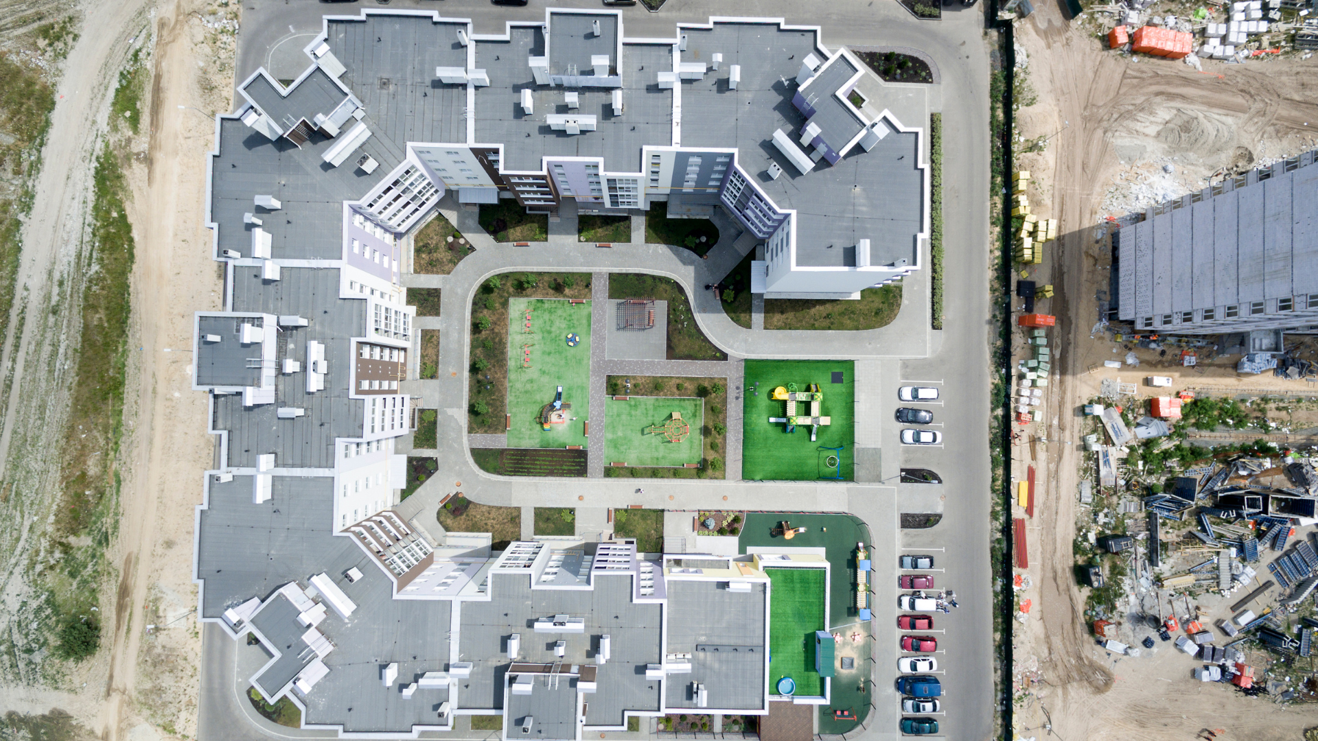
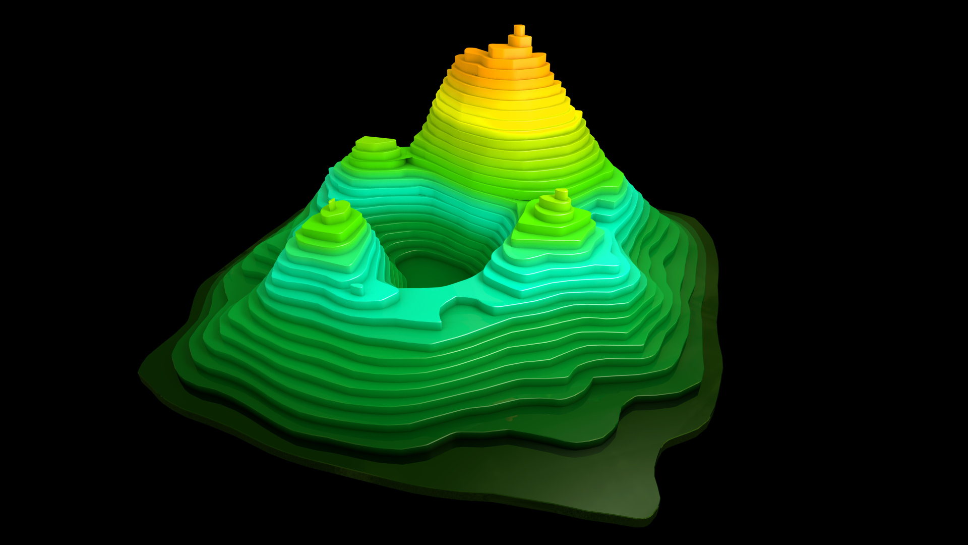
The 3D city model is based on geodata, DEMs (digital elevation models), orthophotos, buildings from survey maps, architecture models, vegetation data, land-use plans etc. which are increasingly available in an up-to-date, area-wide and high quality manner for the whole urban area. With the integration of these different data sources, the city model can be used for a wide range of applications and therefore be helpful for making urban planning and administration processes more up to date and transparent.
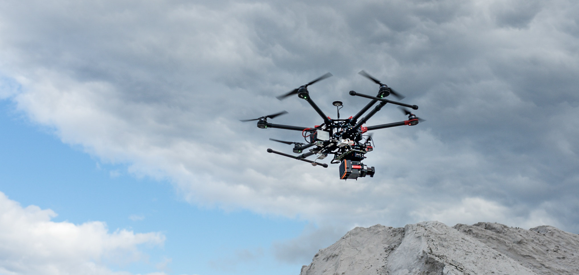
Antler Technologies uses very high end 3D city modeling software’s which do most of the job automatically with very high efficiency and quality. Following are the areas where 3D modeling is widely used.
#205/A/A,MLA’s Colony, Road No : 12,Banjara Hills ,Hyderabad - 500034
040-24389999
9390555556
info@antlerit.com